


A few characteristics of the territory


Crossing the Hainaut border has become an everyday occurrence for us. Thanks to the European Union, our memory of the border as an actual barrier is growing ever more distant. For nature, of course, this artificial boundary never prevented waterways flowing or animals moving from place to place. After all, the two nature parks on the border share the same landscapes and the same biodiversity: a rich and fragile heritage which requires management without borders.
Hainault Cross-Border Nature Park is home to some 255,000 residents, in a surface area of no more than 75,000 hectares. It is therefore an area with a high population density, located as it is on the edges of the French conurbations of Valenciennes and Douai and the Belgian ones of Tournai and Mons. This demographic pressure does not prevent the Cross-Border Nature Park from being home to unique natural areas of the highest quality which deserve to be protected from threats such as urban encroachment, overexploitation of resources, and heritage impoverishment. For this reason, around one third of the area of the Cross-Border Park is classed as part of the Natura 2000 network.
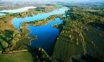
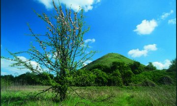
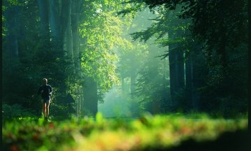
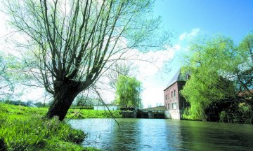
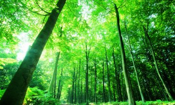
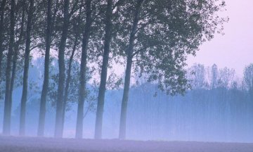
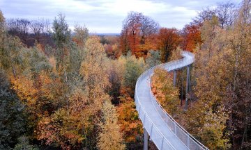
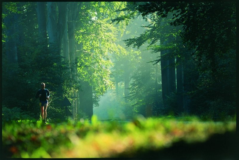
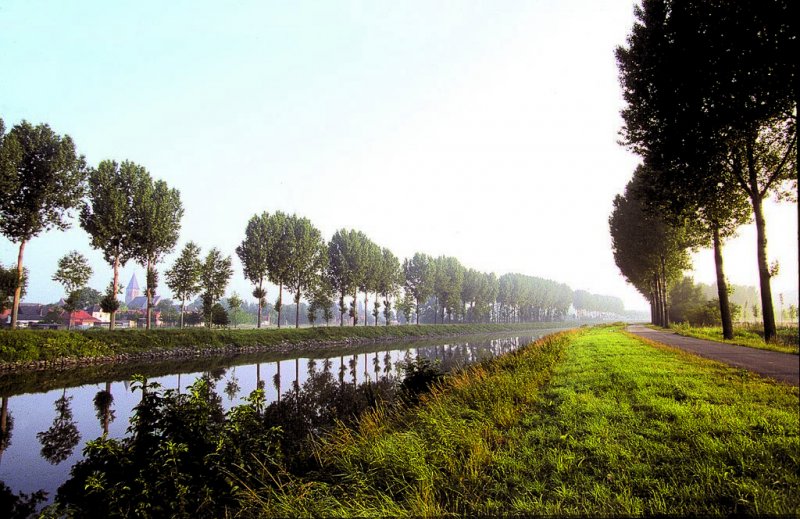
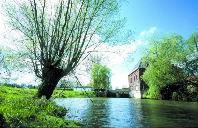
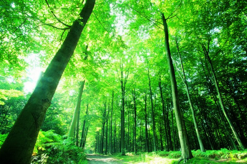
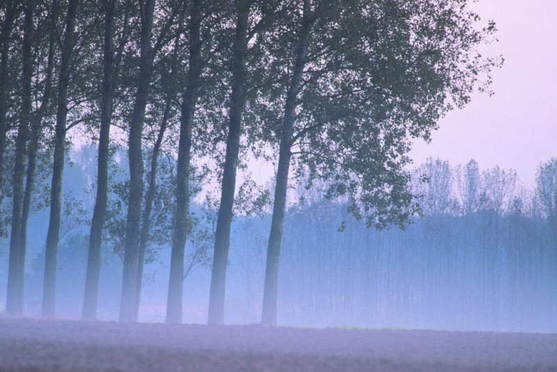
The key factor which explains the biodiversity present in the Park’s natural areas, as well as the richness of its landscapes, is water: the defining arteries of the cross-border territory are the Escaut and the Scarpe. The first is an international river which arrives from Douai to cross the Nature Park from south to north before making its way towards Tournai. The river Scarpe, for its part, flows through the French side of the park and leads into the Escaut a few hundred meters from the border. These two waterways, with their banks brimming with riparian vegetation, represent the territory’s principal biological corridors. Furthermore, other natural, water-rich habitats can be found in the park, constituting wetland areas of great rarity and value. These include the marshes, peat bogs and ponds which to some extent owe their origins to land subsidence caused by the old mining activities, the traces of which are still clearly evident in parts of the Cross-Border Nature Park. Finally, the park includes several forests, mainly composed of oak and beech trees. The largest is Saint Amand forest, and others include Bon-Secours forest, divided by the border.
It is agricultural land, however, which occupies the largest part of the site, representing more than half of the territory of the cross-border park. Cereal crops are the most widespread, although there are also lots of meadows, as well as market-garden plots and orchards.
A few figures by way of comparison:
Scarpe-Escaut Regional Nature Park -55 classified communes, 2 associate communes, 7 gateways -193,000 residents -49,000 hectares -390 residents per km2 -24% forest |
Plaines de l’Escaut Nature Park -42 villages in 6 communal bodies -63,000 residents -26,000 hectares -240 residents per km2 -20% forest |

