The Escaut, a river motorway
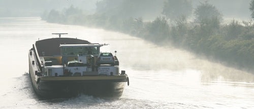 | |
The Escaut (the ‘Schelde’ in Flemish) has its source near the village of Gouy-Le-Catelet, on Saint-Quentin plateau. After crossing the Nord region, the Escaut continues its route across Wallonia, Flanders and the Netherlands, flowing into the North Sea at Vlissingen after a distance of 350 km. | |
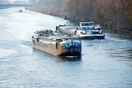
The primary shipping route in Nord-Pas-de-Calais in terms of goods traffic, the Escaut has become a kind of river motorway between Anvers, Valenciennes and the Paris region, and may even gain in magnitude with the Seine-Nord Canal. | L'Escaut : une autoroute fluviale |
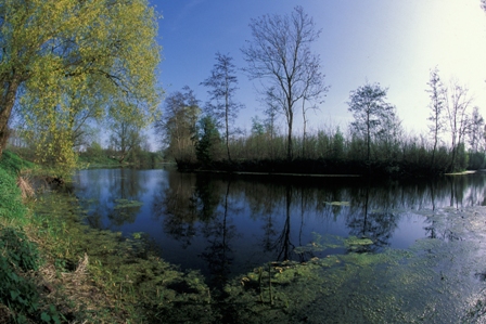
Bras mort de l'Escaut à Bruille-Saint-Amand | It also plays a key role as an ecological corridor, the quality of which could be significantly improved through management and restoration of its oxbows or by enhancement of its ecological continuity and environmental connection with its tributaries such as the Scarpe and the Jard. |
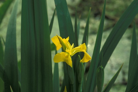
One of the challenges for the 25 km of the Escaut which traverse the Regional Nature Park is therefore to find a balance between economic development and environmental preservation. | Iris aquatique |
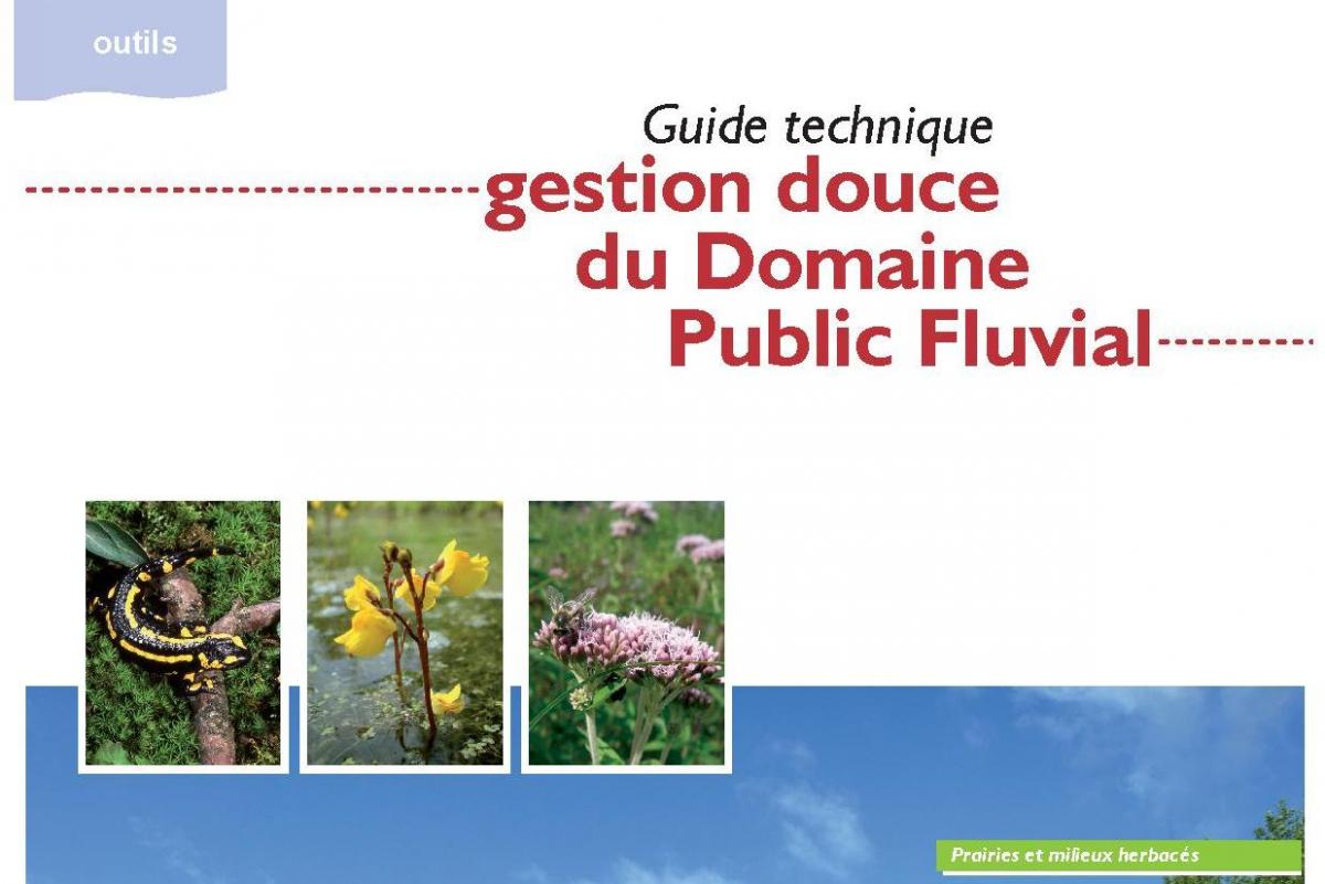
Le Parc a réalisé un guide pour la gestion douce des canaux | In this context, the Regional Nature Park works alongside managers, regional planners and those involved locally, both within the framework of planning initiatives such as SCoT in the Valenciennois or SAGE in Escaut and for local projects, such as the management of oxbows, the differentiated management of the banks of the Escaut, etc. |